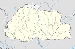
Module:Location map/data/Bhutan
| name | Bhutan | |||
|---|---|---|---|---|
| border coordinates | ||||
| 28.5 | ||||
| 88.6 | ←↕→ | 92.3 | ||
| 26.4 | ||||
| map center | 27°27′N 90°27′E / 27.45°N 90.45°E | |||
| image | Bhutan location map.svg
| |||

| ||||
| image1 | Bhutan relief location map.jpg
| |||

| ||||
| image2 | Bhutan physical map.svg
| |||

| ||||
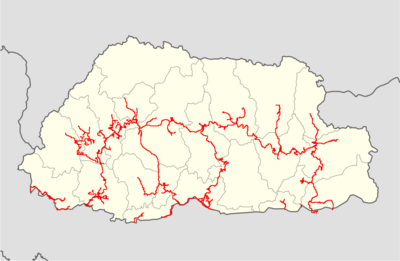
| image3 | Bhutan highways blank location map.png
| |||
| ||||
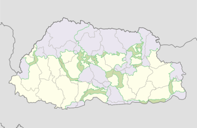
| image4 | Bhutan protected areas location map.png
| |||
| ||||
| image5 | Jigme Dorji protected area location map.png
| |||

| ||||
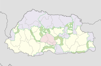
| image6 | Jigme Singye protected area location map.png
| |||
| ||||
| image7 | Khaling protected area location map.png
| |||

| ||||
| image8 | Phibsoo protected area location map.png
| |||

| ||||
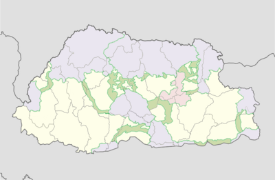
| image9 | Thrumshingla protected area location map.png
| |||
| ||||
| image10 | Torsa protected area location map.png
| |||

| ||||
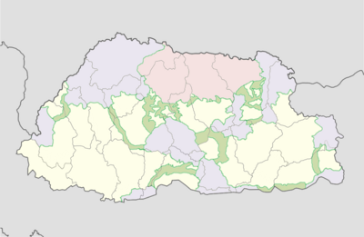
| image11 | Wangchuck Centennial protected area location map.png
| |||
| ||||

Module:Location map/data/Bhutan is a location map definition used to overlay markers and labels on an equirectangular projection map of Bhutan. The markers are placed by latitude and longitude coordinates on the default map or a similar map image.
Usage
These definitions are used by the following templates when invoked with parameter "Bhutan":
{{Location map|Bhutan |...}}{{Location map many|Bhutan |...}}{{Location map+|Bhutan |...}}{{Location map~|Bhutan |...}}
Map definition
name = Bhutan- Name used in the default map caption
image = Bhutan location map.svg- The default map image, without "Image:" or "File:"
image1 = Bhutan relief location map.jpg- An alternative map image, usually a relief map, can be displayed via the relief or AlternativeMap parameters
image2 = Bhutan physical map.svg- A second alternative map image, can be displayed via the AlternativeMap parameter only
top = 28.5- Latitude at top edge of map, in decimal degrees
bottom = 26.4- Latitude at bottom edge of map, in decimal degrees
left = 88.6- Longitude at left edge of map, in decimal degrees
right = 92.3- Longitude at right edge of map, in decimal degrees
Alternative map
The map defined as image1 (Bhutan relief location map.jpg) can be displayed by using the relief or AlternativeMap parameters in {{Location map}}, {{Location map many}} and {{Location map+}}. The map defined as image2 (Bhutan physical map.svg) can only be displayed by using the AlternativeMap parameter. The use of these two parameters is shown in the examples below. Additional examples can be found at:
- Template:Location map#Relief parameter
- Template:Location map#AlternativeMap parameter
- Template:Location map+/relief
- Template:Location map+/AlternativeMap
Precision
Longitude: from West to East this map definition covers 3.7 degrees.
- At an image width of 200 pixels, that is 0.0185 degrees per pixel.
- At an image width of 1000 pixels, that is 0.0037 degrees per pixel.
Latitude: from North to South this map definition covers 2.1 degrees.
- At an image height of 200 pixels, that is 0.0105 degrees per pixel.
- At an image height of 1000 pixels, that is 0.0021 degrees per pixel.
Examples using location map templates
Location map, using default map (image)
{{Location map | Bhutan
| width   = 250
| lat_deg = 27.47
| lon_deg = 89.64
| label   = Thimphu
}}
Location map many, using relief map (image1)
{{Location map many | Bhutan
| relief   = yes
| width    = 250
| caption  = Two locations in Bhutan
| lat1_deg = 27.47
| lon1_deg = 89.64
| label1   = Thimphu
| lat2_deg = 26.85
| lon2_deg = 89.38
| label2   = Phuntsholing
}}
Location map+, using AlternativeMap
{{Location map+ | Bhutan
| AlternativeMap = Bhutan physical map.svg
| caption = Two locations in Bhutan
| width   = 250
| places  =
  {{Location map~ | Bhutan
  | lat_deg = 27.47
  | lon_deg = 89.64
  | label   = Thimphu
  }}
  {{Location map~ | Bhutan
  | lat_deg = 26.85
  | lon_deg = 89.38
  | label   = Phuntsholing
  }}
}}
See also
- Location map templates
- Template:Location map, to display one mark and label using latitude and longitude
- Template:Location map many, to display up to nine marks and labels
- Template:Location map+, to display an unlimited number of marks and labels
- Infobox templates incorporating (passing values to) the Location map template
- Template:Infobox aerial lift line
- Template:Infobox airport — alternative map support: relief (via pushpin_relief) and AlternativeMap (via pushpin_image)
- Template:Infobox ancient site — alternative map support: relief
- Template:Infobox artwork
- Template:Infobox Australian road
- Template:Infobox body of water
- Template:Infobox bridge
- Template:Infobox building — alternative map support: relief
- Template:Infobox business park
- Template:Infobox casino
- Template:Infobox castrum — alternative map support: relief (via map_relief)
- Template:Infobox cave — alternative map support: relief
- Template:Infobox cemetery
- Template:Infobox civil conflict
- Template:Infobox climbing area
- Template:Infobox climbing route — alternative map support: relief
- Template:Infobox church — alternative map support: relief
- Template:Infobox concentration camp
- Template:Infobox convention center
- Template:Infobox cycling championship
- Template:Infobox dam — alternative map support: relief
- Template:Infobox desalination plant
- Template:Infobox earthquakes in date
- Template:Infobox Egyptian tomb
- Template:Infobox factory
- Template:Infobox fault
- Template:Infobox forest — alternative map support: relief
- Template:Infobox glacier — alternative map support: relief (displays relief image unless map_relief=0)
- Template:Infobox golf facility — alternative map support: relief
- Template:Infobox Hindu temple
- Template:Infobox historic site — alternative map support: relief (via map_relief)
- Template:Infobox Holocaust event
- Template:Infobox hospital — alternative map support: relief
- Template:Infobox hut — alternative map support: relief
- Template:Infobox islands — alternative map support: relief
- Template:Infobox landform
- Template:Infobox lighthouse — alternative map support: relief
- Template:Infobox military conflict — alternative map support: relief (via map_relief)
- Template:Infobox military installation — alternative map support: relief (via map_relief)
- Template:Infobox military operation
- Template:Infobox mill building
- Template:Infobox mine
- Template:Infobox mining
- Template:Infobox monastery
- Template:Infobox monument
- Template:Infobox motorway services
- Template:Infobox mountain — alternative map support: relief (displays relief image unless map_relief=0)
- Template:Infobox mountain pass — alternative map support: relief (displays relief image unless map_relief=0)
- Template:Infobox museum — alternative map support: relief (via map_relief)
- Template:Infobox New York City Subway station
- Template:Infobox New Zealand suburb
- Template:Infobox observatory
- Template:Infobox oil field — alternative map support: relief
- Template:Infobox oil refinery — alternative map support: relief
- Template:Infobox park — alternative map support: relief
- Template:Infobox port
- Template:Infobox power station — alternative map support: relief
- Template:Infobox prison
- Template:Infobox protected area — alternative map support: relief
- Template:Infobox pyramid
- Template:Infobox reactor
- Template:Infobox religious building — alternative map support: relief
- Template:Infobox residential college
- Template:Infobox restaurant
- Template:Infobox river
- Template:Infobox Russian inhabited locality
- Template:Infobox school
- Template:Infobox Scottish island
- Template:Infobox sedimentary basin
- Template:Infobox settlement — alternative map support: relief (via pushpin_relief) and AlternativeMap (via pushpin_image)
- Template:Infobox ski area
- Template:Infobox Spanish missions in the Americas
- Template:Infobox sports rivalry
- Template:Infobox spring — alternative map support: relief
- Template:Infobox station
- Template:Infobox street
- Template:Infobox superfund
- Template:Infobox terrestrial impact site
- Template:Infobox transmitter
- Template:Infobox tunnel
- Template:Infobox valley — alternative map support: relief
- Template:Infobox waterfall — alternative map support: relief
- Template:Infobox waterlock
- Template:Infobox UNESCO World Heritage Site — alternative map support: relief
- Template:Infobox university
- Template:Infobox urban feature
- Template:Infobox venue
- Template:Infobox wildfire
- Template:Infobox WorldScouting
return {
	name = 'Bhutan',
	top = 28.5,
	bottom = 26.4,
	left = 88.6,
	right = 92.3,
	image = 'Bhutan location map.svg ',
	image1 = 'Bhutan relief location map.jpg',
	image2 = 'Bhutan physical map.svg',
	image3 = 'Bhutan highways blank location map.png',
	image4 = 'Bhutan protected areas location map.png',
	image5 = 'Jigme Dorji protected area location map.png',
	image6 = 'Jigme Singye protected area location map.png',
	image7 = 'Khaling protected area location map.png',
	image8 = 'Phibsoo protected area location map.png',
	image9 = 'Royal Manas protected area location map.png',
	image9 = 'Thrumshingla protected area location map.png',
	image10 = 'Torsa protected area location map.png',
	image11 = 'Wangchuck Centennial protected area location map.png'
}
