ගොනුව:Surrey UK location map.svg

Size of this PNG preview of this SVG file: 790 × 599 පික්සල. අනෙකුත් විභේදනයන්: 317 × 240 පික්සල | 633 × 480 පික්සල | 1,013 × 768 පික්සල | 1,280 × 971 පික්සල | 2,560 × 1,942 පික්සල | 1,425 × 1,081 පික්සල.
මුල් ගොනුව (SVG ගොනුව, නාමමාත්රිකව 1,425 × 1,081 පික්සල්, ගොනු විශාලත්වය: 1.93 මෙ.බ.)
| විස්තරය |
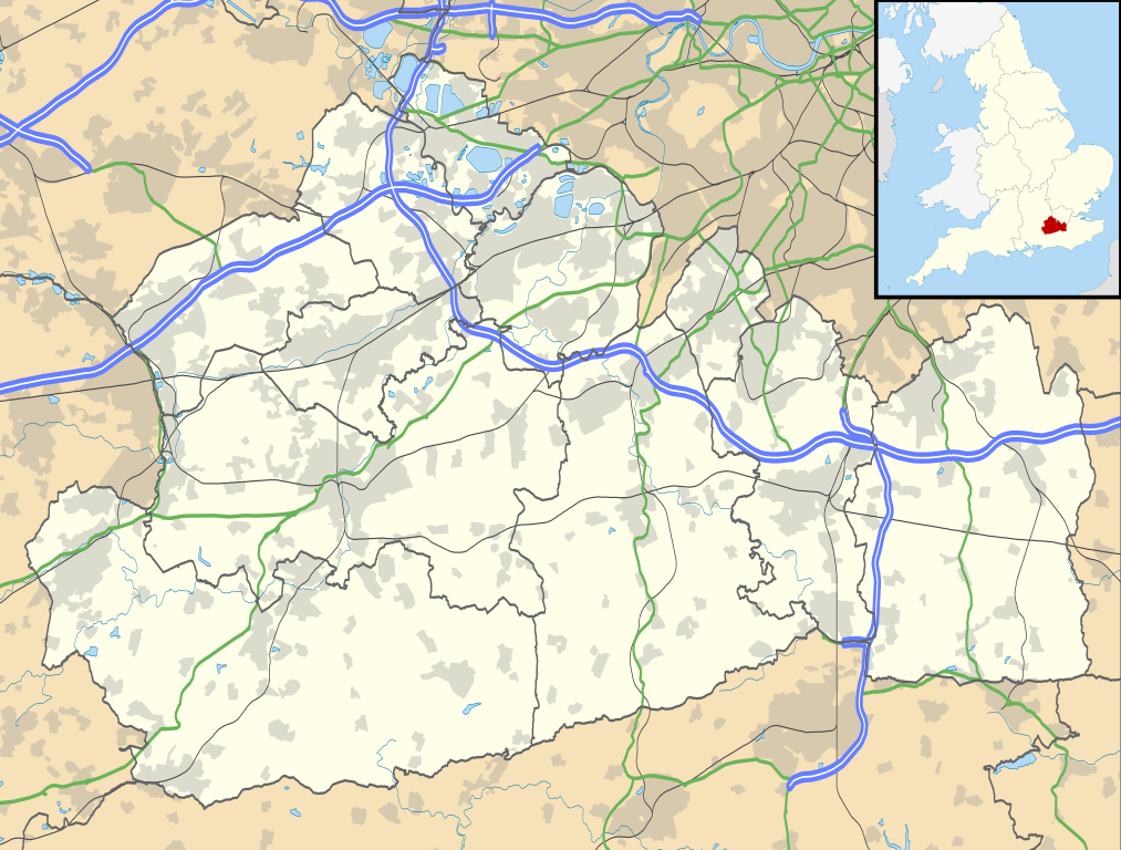
Map of Surrey, UK with the following information shown:
Equirectangular map projection on WGS 84 datum, with N/S stretched 160% Geographic limits:
|
| දිනය | |
| මූලාශ්රය |
|
| කර්තෘ | Nilfanion, created using Ordnance Survey data |
| අවසරය (මෙම ගොනුව නැවත භාවිතා කරමින්) |
මෙම ගොනුව ක්රියේටිව් කොමන්ස් Attribution-Share Alike 3.0 Unported වරපත යටතේ අවසර ලබා ඇත. Attribution: Contains Ordnance Survey data © Crown copyright and database right
|
| අනෙකුත් අනුවාදයන් | File:Surrey UK district map (blank).svg - Blank map |
.svg)
ගොනු ඉතිහාසය
එම අවස්ථාවෙහිදී ගොනුව පැවැති ආකාරය නැරඹීමට දිනය/වේලාව මත ක්ලික් කරන්න.
| දිනය/වේලාව | කුඩා-රූපය | මාන | පරිශීලක | පරිකථනය | |
|---|---|---|---|---|---|
| වත්මන් | 19:15, 26 සැප්තැම්බර් 2010 | | 1,425 × 1,081 (1.93 මෙ.බ.) | Nilfanion | {{Information |Description=Map of Surrey, UK with the following information shown: *Administrative borders *Coastline, lakes and rivers *Roads and railways *Urban areas Equirectangular map projection on WGS 84 datum, with N/S stretched 160% |
ගොනු භාවිතය
පහත දැක්වෙන පිටු 3 ක් විසින් මෙම ගොනුව භාවිතා කෙරෙයි:
ගෝලීය ගොනු භාවිතය
පහත දැක්වෙන අනෙකුත් විකියන් මගින් මෙම ගොනුව භාවිතා කරයි:
- ar.wikipedia.org හි භාවිතය
- bg.wikipedia.org හි භාවිතය
- ceb.wikipedia.org හි භාවිතය
- en.wikipedia.org හි භාවිතය
- Staines-upon-Thames
- Dorking
- Guildford
- Effingham, Surrey
- Farnham
- Ashtead
- Leatherhead
- Epsom
- Wisley
- Cobham, Surrey
- Hindhead
- Fetcham
- Great Bookham
- East Horsley
- Cranleigh
- Oatlands, Surrey
- Little Bookham
- Godalming
- Reigate
- Camberley
- Milford, Surrey
- Dunsfold
- Winkworth Arboretum
- Weybridge
- Haslemere
- Redhill, Surrey
- Bramley, Surrey
- Haxted Watermill
- Ockham, Surrey
- Egham
- Esher
- Virginia Water
- Sunbury-on-Thames
- Pirbright
- Abinger Hammer
- Epsom railway station
- Send, Surrey
- Lingfield, Surrey
- Shalford, Surrey
- Waverley Abbey
- Ashford, Surrey
- Tadworth
- Church of St Peter & St Paul, Godalming
- Wormley, Surrey
- Guildford Cathedral
- Witley
- Hambledon, Surrey
මෙම ගොනුවේ තවත් ගෝලීය භාවිත බලන්න.