ගොනුව:South Africa Eastern Cape location map.svg

Size of this PNG preview of this SVG file: 800 × 556 පික්සල. අනෙකුත් විභේදනයන්: 320 × 222 පික්සල | 640 × 445 පික්සල | 1,024 × 712 පික්සල | 1,280 × 889 පික්සල | 2,560 × 1,779 පික්සල | 1,298 × 902 පික්සල.
මුල් ගොනුව (SVG ගොනුව, නාමමාත්රිකව 1,298 × 902 පික්සල්, ගොනු විශාලත්වය: 282 කි.බ.)
සාරාංශය
| විස්තරය |
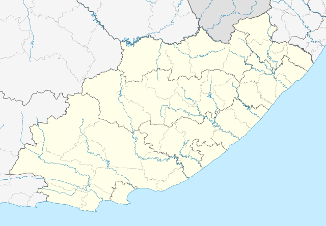
English: Location map of the Eastern Cape
Equirectangular projection, N/S stretching 117%. Geographic limits of the map:
|
| දිනය | |
| මූලාශ්රය |
|
| කර්තෘ | Htonl |
| අවසරය (මෙම ගොනුව නැවත භාවිතා කරමින්) |
මෙම කෘතියෙහි හිමිකම් අයිතීන් දරන්නා වන මම,පහත වරපත යටතේ එය ප්රකාශයට පත් කරමි: මෙම ගොනුව ක්රියේටිව් කොමන්ස් Attribution-Share Alike 3.0 Unported වරපත යටතේ අවසර ලබා ඇත.
|
| අනෙකුත් අනුවාදයන් | File:South Africa Eastern Cape relief location map.svg, File:Blank map of the Eastern Cape (2011).svg |
| SVG genesis |
.svg)
ගොනු ඉතිහාසය
එම අවස්ථාවෙහිදී ගොනුව පැවැති ආකාරය නැරඹීමට දිනය/වේලාව මත ක්ලික් කරන්න.
| දිනය/වේලාව | කුඩා-රූපය | මාන | පරිශීලක | පරිකථනය | |
|---|---|---|---|---|---|
| වත්මන් | 21:44, 4 ජනවාරි 2013 | | 1,298 × 902 (282 කි.බ.) | Htonl | == {{int:filedesc}} == {{Information |Description ={{en|Location map of the Eastern Cape Equirectangular projection, N/S stretching 117%. Geographic limits of the map: * N: 29.75° S * S: 34.5° S * W: 22.5° E * E: 30.5° E}} |... |
ගොනු භාවිතය
පහත දැක්වෙන පිටු 3 ක් විසින් මෙම ගොනුව භාවිතා කෙරෙයි:
ගෝලීය ගොනු භාවිතය
පහත දැක්වෙන අනෙකුත් විකියන් මගින් මෙම ගොනුව භාවිතා කරයි:
- af.wikipedia.org හි භාවිතය
- Alice, Oos-Kaap
- Bhisho
- Oos-Londen
- Gqeberha
- Qunu
- Nieu-Bethesda
- Aliwal-Noord
- Dordrecht, Oos-Kaap
- Grahamstad
- Qonce
- Komani
- Cradock
- Bathurst, Oos-Kaap
- Port Alfred
- Graaff-Reinet
- Indwe
- Uitenhage
- Aberdeen, Oos-Kaap
- Adelaide (Suid-Afrika)
- Fort Beaufort
- Adendorp
- Addo-olifant- Nasionale Park
- Middelburg, Oos-Kaap
- Groot-Visrivier
- Hogsback
- Somerset-Oos
- Albanie
- Bethelsdorp
- Elliot
- Maclear
- Barkly-Oos
- Ugie
- Burgersdorp
- Rhodes, Oos-Kaap
- Seymour, Oos-Kaap
- Balfour, Oos-Kaap
- Lady Grey
- Jamestown, Oos-Kaap
- Sterkstroom
- Kamdeboo- Nasionale Park
- Nasionale Bergkwaggapark
- Mthatha
- Despatch
- Joubertina
- Boesmansriviermond
- Potsdam, Oos-Kaap
- Butterworth
- Mount Frere
- Stutterheim
- Bedford, Oos-Kaap
මෙම ගොනුවේ තවත් ගෝලීය භාවිත බලන්න.