ගොනුව:Raionul Hincesti location map.jpg
මෙම පෙරදසුනෙහි විශාලත්වය: 468 × 599 පික්සල. අනෙකුත් විභේදනයන්: 187 × 240 පික්සල | 375 × 480 පික්සල | 599 × 768 පික්සල | 1,125 × 1,441 පික්සල.
මුල් ගොනුව (1,125 × 1,441 පික්සල, ගොනු විශාලත්වය: 447 කි.බ., MIME ශෛලිය: image/jpeg)
සාරාංශය
| විස්තරය |
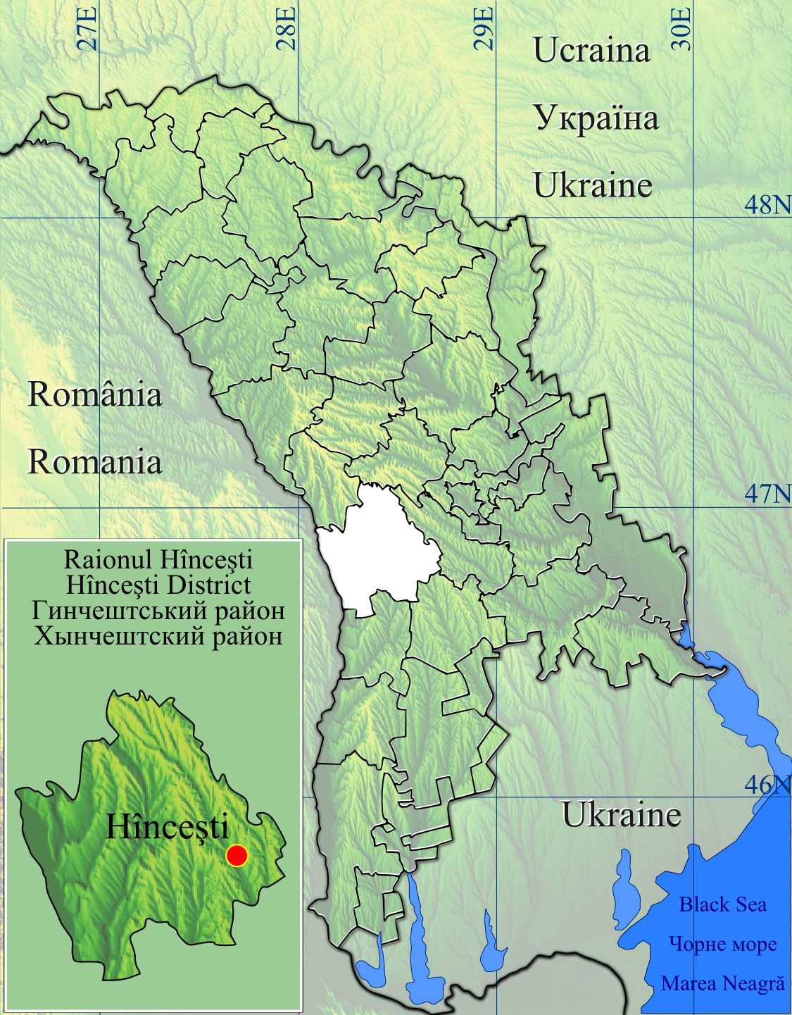
English: Raionul Hincesti location map.
|
| දිනය | |
| මූලාශ්රය | Topographic data SRTM from NASA and World Imagery & 3DEM & Inkscape |
| කර්තෘ | Asybaris01 |
| අනෙකුත් අනුවාදයන් |
|


බලපත්රීකරණය
| This file is in the public domain in the United States because it was solely created by NASA. NASA copyright policy states that "NASA material is not protected by copyright unless noted". (See Template:PD-USGov, NASA copyright policy page or JPL Image Use Policy.) | ||
 |
Warnings:
|
ගොනු ඉතිහාසය
එම අවස්ථාවෙහිදී ගොනුව පැවැති ආකාරය නැරඹීමට දිනය/වේලාව මත ක්ලික් කරන්න.
| දිනය/වේලාව | කුඩා-රූපය | මාන | පරිශීලක | පරිකථනය | |
|---|---|---|---|---|---|
| වත්මන් | 16:41, 16 පෙබරවාරි 2012 | | 1,125 × 1,441 (447 කි.බ.) | Asybaris01 | new |
| 20:42, 30 ජනවාරි 2012 |  | 1,349 × 1,731 (551 කි.බ.) | Asybaris01 | {{Information |Description ={{en|1=Raionul Hincesti location map.}} |Source =Topographic data SRTM from NASA and World Imagery & 3DEM & Inkscape |Author =Asybaris01 |Date =jan 2012 |Permission = |other_ |
ගොනු භාවිතය
පහත දැක්වෙන පිටු 2 ක් විසින් මෙම ගොනුව භාවිතා කෙරෙයි:
ගෝලීය ගොනු භාවිතය
පහත දැක්වෙන අනෙකුත් විකියන් මගින් මෙම ගොනුව භාවිතා කරයි:
- ar.wikipedia.org හි භාවිතය
- bg.wikipedia.org හි භාවිතය
- ca.wikipedia.org හි භාවිතය
- ceb.wikipedia.org හි භාවිතය
- en.wikipedia.org හි භාවිතය
- Hîncești District
- Obileni
- Bălceana
- Boghiceni
- Buțeni
- Caracui
- Cățeleni
- Cioara, Hîncești
- Dancu
- Fîrlădeni, Hîncești
- Voinescu
- Șipoteni
- Sofia, Hîncești
- Pervomaiscoe, Hîncești
- Negrea
- Călmățui, Hîncești
- Bujor, Hîncești
- Stolniceni, Hîncești
- Cotul Morii
- Crasnoarmeiscoe
- Drăgușenii Noi
- Mereșeni
- Mirești
- Bozieni, Hîncești
- Pașcani, Hîncești
- Onești, Hîncești
- Secăreni
- Ivanovca, Hîncești
- Sărata-Galbenă
- Module:Location map/data/Moldova Hîncești
- Module:Location map/data/Moldova Hîncești/doc
- ja.wikipedia.org හි භාවිතය
- lmo.wikipedia.org හි භාවිතය
- no.wikipedia.org හි භාවිතය
- ro.wikipedia.org හි භාවිතය
මෙම ගොනුවේ තවත් ගෝලීය භාවිත බලන්න.