ගොනුව:Isle of Skye UK relief location map.jpg
මෙම පෙරදසුනෙහි විශාලත්වය: 562 × 599 පික්සල. අනෙකුත් විභේදනයන්: 225 × 240 පික්සල | 450 × 480 පික්සල | 720 × 768 පික්සල | 960 × 1,024 පික්සල | 2,004 × 2,137 පික්සල.
මුල් ගොනුව (2,004 × 2,137 පික්සල, ගොනු විශාලත්වය: 462 කි.බ., MIME ශෛලිය: image/jpeg)
| විස්තරය |
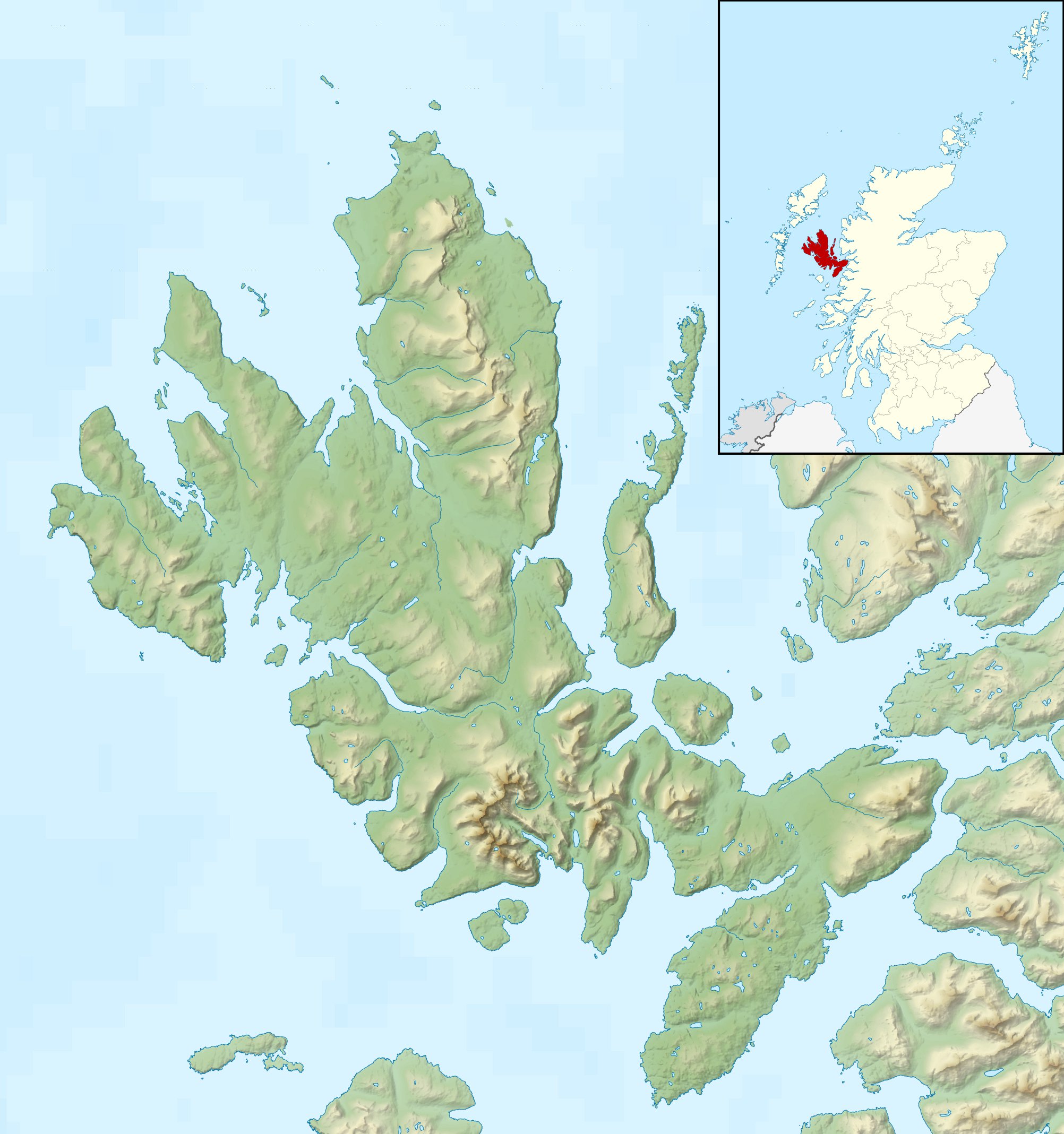
Relief map of the Isle of Skye, UK. Equirectangular map projection on WGS 84 datum, with N/S stretched 180% Geographic limits:
|
| දිනය | |
| මූලාශ්රය |
|
| කර්තෘ | Nilfanion, created using Ordnance Survey data |
| අවසරය (මෙම ගොනුව නැවත භාවිතා කරමින්) |
මෙම ගොනුව ක්රියේටිව් කොමන්ස් Attribution-Share Alike 3.0 Unported වරපත යටතේ අවසර ලබා ඇත. Attribution: Contains Ordnance Survey data © Crown copyright and database right
|
| අනෙකුත් අනුවාදයන් |
File:Isle of Skye UK blank map.svg - Blank map  |
ගොනු ඉතිහාසය
එම අවස්ථාවෙහිදී ගොනුව පැවැති ආකාරය නැරඹීමට දිනය/වේලාව මත ක්ලික් කරන්න.
| දිනය/වේලාව | කුඩා-රූපය | මාන | පරිශීලක | පරිකථනය | |
|---|---|---|---|---|---|
| වත්මන් | 00:28, 17 දෙසැම්බර් 2011 | | 2,004 × 2,137 (462 කි.බ.) | Nilfanion | {{Information |Description=Relief map of the Isle of Skye, UK. Equirectangular map projection on WGS 84 datum, with N/S stretched 180% Geographic limits: *West: 6.85W *East: 5.5W *North: 57.8N *South: 57.0N |Source=[[w:Ordnance Survey |
ගොනු භාවිතය
පහත දැක්වෙන පිටු 2 ක් විසින් මෙම ගොනුව භාවිතා කෙරෙයි:
ගෝලීය ගොනු භාවිතය
පහත දැක්වෙන අනෙකුත් විකියන් මගින් මෙම ගොනුව භාවිතා කරයි:
- ar.wikipedia.org හි භාවිතය
- ceb.wikipedia.org හි භාවිතය
- cs.wikipedia.org හි භාවිතය
- da.wikipedia.org හි භාවිතය
- de.wikipedia.org හි භාවිතය
- en.wikipedia.org හි භාවිතය
- Soay, Inner Hebrides
- Sorley MacLean
- Raasay
- South Rona
- Scalpay, Inner Hebrides
- Sgùrr Alasdair
- Blà Bheinn
- Wiay, Inner Hebrides
- Eilean Bàn
- Am Basteir
- Bruach na Frìthe
- Sgùrr a' Ghreadaidh
- Sgùrr a' Mhadaidh
- Pabay
- Ornsay
- Beinn na Caillich (Red Hills)
- Eilean Mòr, Crowlin Islands
- Loch Snizort
- Isle of Skye
- South Ascrib
- Harlosh Island
- Tarner Island
- Eilean Tigh
- Eilean Mòr, Loch Dunvegan
- Staffin Island
- Module:Location map/data/Scotland Isle of Skye/doc
- Beinn na Caillich (Kyle Rhea)
- Eilean Meadhonach
- High Pasture Cave
- Portal:Islands/Selected article
- Module:Location map/data/Scotland Isle of Skye
මෙම ගොනුවේ තවත් ගෝලීය භාවිත බලන්න.