ගොනුව:Island of Ireland relief location map.png
මෙම පෙරදසුනෙහි විශාලත්වය: 481 × 599 පික්සල. අනෙකුත් විභේදනයන්: 192 × 240 පික්සල | 385 × 480 පික්සල | 616 × 768 පික්සල | 822 × 1,024 පික්සල | 1,450 × 1,807 පික්සල.
මුල් ගොනුව (1,450 × 1,807 පික්සල, ගොනු විශාලත්වය: 2.07 මෙ.බ., MIME ශෛලිය: image/png)
| විස්තරය |
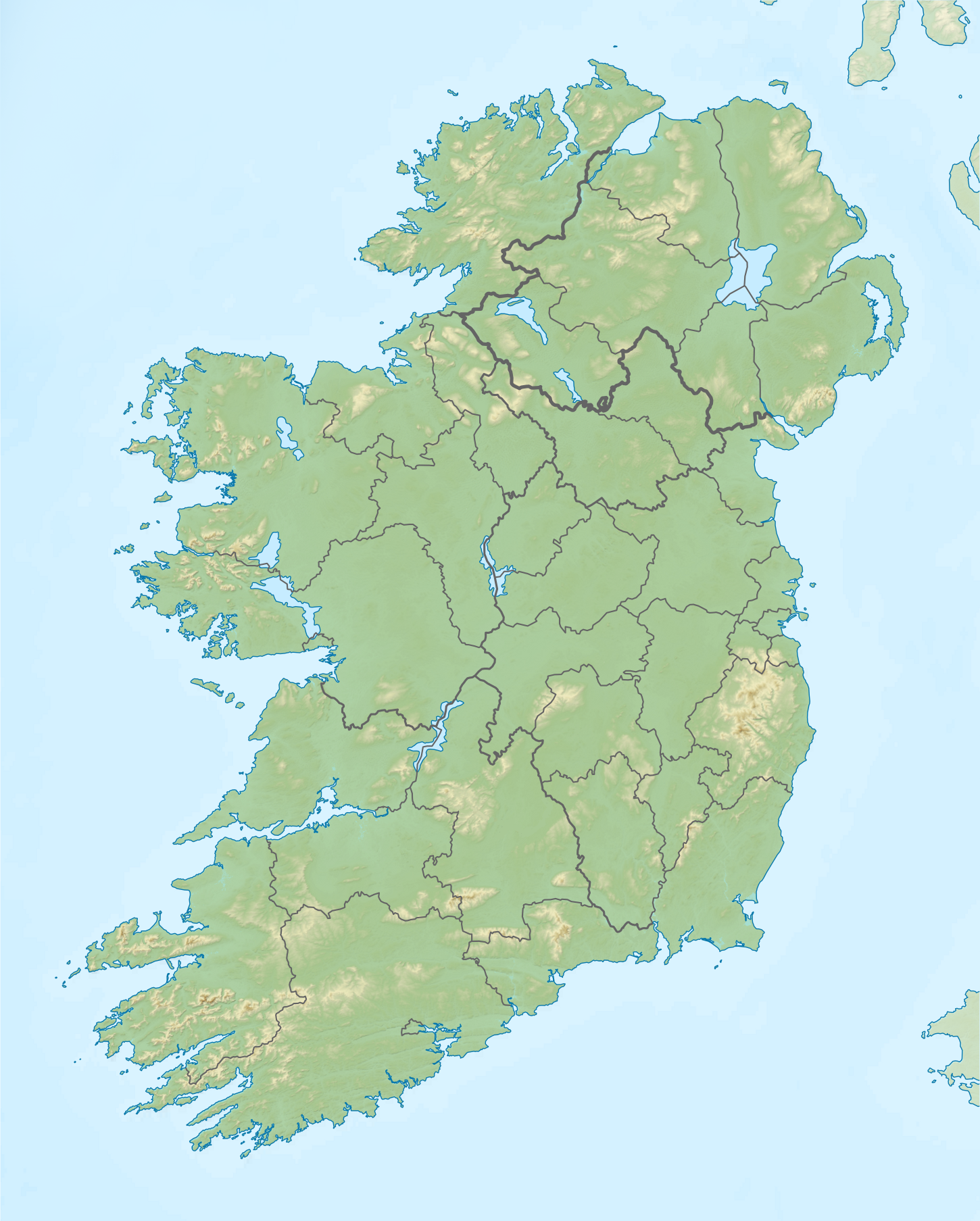
Relief map of Ireland Equirectangular map projection on WGS 84 datum, with N/S stretched 170% Geographic limits:
|
| දිනය | |
| මූලාශ්රය |
Shuttle Radar Topography Mission
National Geospatial-Intelligence Agency
File:Island of Ireland location map.svg: Rannpháirtí anaithnid
|
| කර්තෘ | Nilfanion |
| අවසරය (මෙම ගොනුව නැවත භාවිතා කරමින්) |
මෙම ගොනුව ක්රියේටිව් කොමන්ස් Attribution-Share Alike 3.0 Unported වරපත යටතේ අවසර ලබා ඇත.
|
ගොනු ඉතිහාසය
එම අවස්ථාවෙහිදී ගොනුව පැවැති ආකාරය නැරඹීමට දිනය/වේලාව මත ක්ලික් කරන්න.
| දිනය/වේලාව | කුඩා-රූපය | මාන | පරිශීලක | පරිකථනය | |
|---|---|---|---|---|---|
| වත්මන් | 12:36, 26 මැයි 2019 | | 1,450 × 1,807 (2.07 මෙ.බ.) | RaviC | updated per Wikipedia:Graphics_Lab/Map_workshop#Ireland_Relief_Map_-_2014_Changes |
| 04:07, 8 මැයි 2012 |  | 1,450 × 1,807 (1.75 මෙ.බ.) | Spideog | Removed dark blue shading at top left for aesthetic balance reasons. It was distracting, and the the map is for terrestrial rather than bathymetric purposes. | |
| 22:44, 15 අප්රේල් 2012 |  | 1,450 × 1,807 (1.6 මෙ.බ.) | Nilfanion | {{Information |Description=Relief map of Ireland Equirectangular map projection on WGS 84 datum, with N/S stretched 170% Geographic limits: *West: 11.0° W *East: 5.0° W *North: 55.6° N *South: 51.2° N |Source= [[w:Shuttle Radar Topo... |
ගොනු භාවිතය
පහත දැක්වෙන පිටු 3 ක් විසින් මෙම ගොනුව භාවිතා කෙරෙයි:
ගෝලීය ගොනු භාවිතය
පහත දැක්වෙන අනෙකුත් විකියන් මගින් මෙම ගොනුව භාවිතා කරයි:
- ar.wikipedia.org හි භාවිතය
- az.wikipedia.org හි භාවිතය
- be.wikipedia.org හි භාවිතය
- bn.wikipedia.org හි භාවිතය
- ceb.wikipedia.org හි භාවිතය
- ce.wikipedia.org හි භාවිතය
- da.wikipedia.org හි භාවිතය
- de.wikipedia.org හි භාවිතය
- en.wikipedia.org හි භාවිතය
- Achill Island
- Battle of the Boyne
- Newgrange
- Rock of Cashel
- MacGillycuddy's Reeks
- Hill of Tara
- Magh Slécht
- Lough Derg, County Donegal
- RMS Lusitania
- Turlough Hill
- Mourne Mountains
- Copeland Islands
- Valentia Island
- Skellig Islands
- Carrauntoohil
- Lough Owel
- Lough Ennell
- Treaty of Limerick
- Lough Swilly
- Lough Allen
- Lough Gur
- Mount Brandon
- Lebor na hUidre
- Clarkstown radio transmitter
මෙම ගොනුවේ තවත් ගෝලීය භාවිත බලන්න.