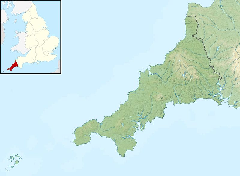
ගොනුව:Cornwall UK relief location map.jpg

මෙම පෙරදසුනෙහි විශාලත්වය: 800 × 588 පික්සල. අනෙකුත් විභේදනයන්: 320 × 235 පික්සල | 640 × 470 පික්සල | 1,024 × 753 පික්සල | 1,280 × 941 පික්සල | 1,999 × 1,469 පික්සල.
මුල් ගොනුව (1,999 × 1,469 පික්සල, ගොනු විශාලත්වය: 227 කි.බ., MIME ශෛලිය: image/jpeg)
ගොනු ඉතිහාසය
එම අවස්ථාවෙහිදී ගොනුව පැවැති ආකාරය නැරඹීමට දිනය/වේලාව මත ක්ලික් කරන්න.
| දිනය/වේලාව | කුඩා-රූපය | මාන | පරිශීලක | පරිකථනය | |
|---|---|---|---|---|---|
| වත්මන් | 01:23, 29 නොවැම්බර් 2011 |  | 1,999 × 1,469 (227 කි.බ.) | Nilfanion | {{Information |Description=Relief map of Cornwall, UK. Equirectangular map projection on WGS 84 datum, with N/S stretched 150% Geographic limits: *West: 6.47W *East: 4.00W *North: 51.04N *South: 49.83N |Source=[[w:Ordnance Survey|Ordnance |
ගොනු භාවිතය
පහත දැක්වෙන පිටු 3 ක් විසින් මෙම ගොනුව භාවිතා කෙරෙයි:
ගෝලීය ගොනු භාවිතය
පහත දැක්වෙන අනෙකුත් විකියන් මගින් මෙම ගොනුව භාවිතා කරයි:
- ar.wikipedia.org හි භාවිතය
- bg.wikipedia.org හි භාවිතය
- ceb.wikipedia.org හි භාවිතය
- cs.wikipedia.org හි භාවිතය
- en.wikipedia.org හි භාවිතය
- Battle of Lostwithiel
- Longships, Cornwall
- Pentire Head
- Drift Reservoir
- St Mary's Lifeboat Station
- Kynance Cove
- Tintagel Old Post Office
- Dozmary Pool
- Tournament Players Championship (United Kingdom)
- Cornwall and West Devon Mining Landscape
- Padstow Lifeboat Station
- Hayle Estuary
- Module:Location map/data/United Kingdom Cornwall/doc
- Dodman Point
- Stepper Point
- Porth Reservoir
- Crowdy Reservoir
- Cribbar
- The Lizard Lifeboat Station
- Colliford Lake
- Falmouth Lifeboat Station
- Fowey Lifeboat Station
- St Ives Lifeboat Station
- Penlee Lifeboat Station
- Sennen Cove Lifeboat Station
- The Loe
- Stithians Reservoir
- Falmouth Synagogue
- Treverbyn Vean
- Helman Tor
- Upper Tamar Lake
- St Agnes Lifeboat Station, Isles of Scilly
- Port Isaac Lifeboat Station
- Basset Mines
- Penzance Lifeboat Station
- Carnon River
- Module:Location map/data/United Kingdom Cornwall
- Module:Location map/data/Cornwall
මෙම ගොනුවේ තවත් ගෝලීය භාවිත බලන්න.