ගොනුව:Bridgend UK location map.svg

Size of this PNG preview of this SVG file: 603 × 600 පික්සල. අනෙකුත් විභේදනයන්: 241 × 240 පික්සල | 483 × 480 පික්සල | 772 × 768 පික්සල | 1,030 × 1,024 පික්සල | 2,059 × 2,048 පික්සල | 1,273 × 1,266 පික්සල.
මුල් ගොනුව (SVG ගොනුව, නාමමාත්රිකව 1,273 × 1,266 පික්සල්, ගොනු විශාලත්වය: 541 කි.බ.)
| විස්තරය |
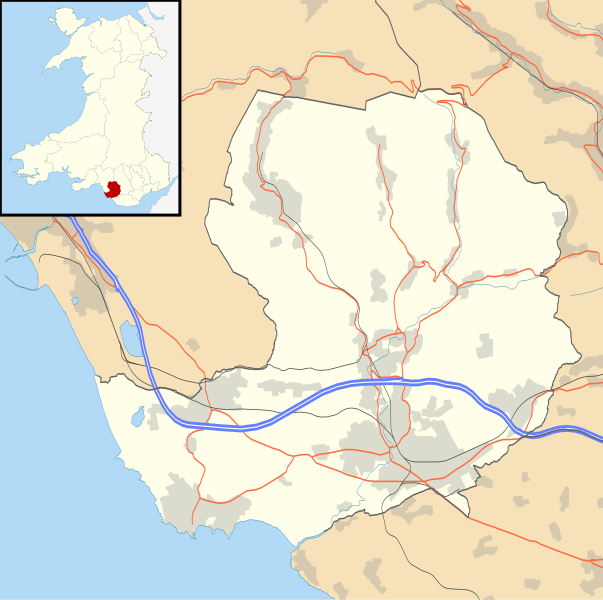
Blank map of Bridgend, UK with the following information shown:
Equirectangular map projection on WGS 84 datum, with N/S stretched 160% Geographic limits:
|
| දිනය | |
| මූලාශ්රය |
|
| කර්තෘ | Nilfanion, created using Ordnance Survey data |
| අවසරය (මෙම ගොනුව නැවත භාවිතා කරමින්) |
මෙම ගොනුව ක්රියේටිව් කොමන්ස් Attribution-Share Alike 3.0 Unported වරපත යටතේ අවසර ලබා ඇත. Attribution: Contains Ordnance Survey data © Crown copyright and database right
|
| අනෙකුත් අනුවාදයන් | File:Bridgend UK map.svg - Blank map |
ගොනු ඉතිහාසය
එම අවස්ථාවෙහිදී ගොනුව පැවැති ආකාරය නැරඹීමට දිනය/වේලාව මත ක්ලික් කරන්න.
| දිනය/වේලාව | කුඩා-රූපය | මාන | පරිශීලක | පරිකථනය | |
|---|---|---|---|---|---|
| වත්මන් | 19:28, 26 සැප්තැම්බර් 2010 | | 1,273 × 1,266 (541 කි.බ.) | Nilfanion | {{Information |Description=Blank map of Bridgend, UK with the following information shown: *Administrative borders *Coastline, lakes and rivers *Roads and railways *Urban areas Equirectangular map projection on WGS 84 datum, with N/S stret |
ගොනු භාවිතය
පහත දැක්වෙන පිටු 2 ක් විසින් මෙම ගොනුව භාවිතා කෙරෙයි:
ගෝලීය ගොනු භාවිතය
පහත දැක්වෙන අනෙකුත් විකියන් මගින් මෙම ගොනුව භාවිතා කරයි:
- ar.wikipedia.org හි භාවිතය
- ceb.wikipedia.org හි භාවිතය
- cy.wikipedia.org හි භාවිතය
- en.wikipedia.org හි භාවිතය
- List of monastic houses in Wales
- Bridgend
- Porthcawl
- Maesteg
- Bridgend County Borough
- Pencoed
- Llangynwyd
- Tondu
- Brackla
- Nottage
- Heol-y-Cyw
- Pyle
- Aberkenfig
- Sarn Park services
- Pontycymer
- Blaengarw
- Coychurch
- Newton, Porthcawl
- Glanrhyd Hospital
- Maesteg Community Hospital
- Princess of Wales Hospital
- Sarn, Bridgend
- Ogmore Vale
- Bettws, Bridgend
- Nant-y-moel
- Cwmfelin
- RAF Stormy Down
- Brynmenyn
- Cefn Cribwr
- Module:Location map/data/Wales Bridgend/doc
- St John the Baptist Church, Porthcawl
- Seabank Hotel
- Kenfig Hill
- Ynysawdre
- Wyndham, Bridgend
- List of Sites of Special Scientific Interest in Bridgend County Borough
- User:Wop48/sandbox
- Coity Higher
- Coity
- Laleston
- St Bride's Minor
- Newcastle Higher
- Coychurch Higher
- Coychurch Lower
- Bridgend (community)
- Llangynwyd Lower
- Llangynwyd Middle
මෙම ගොනුවේ තවත් ගෝලීය භාවිත බලන්න.