ගොනුව:Australia Victoria Wodonga City location map.svg

Size of this PNG preview of this SVG file: 535 × 385 පික්සල. අනෙකුත් විභේදනයන්: 320 × 230 පික්සල | 640 × 461 පික්සල | 1,024 × 737 පික්සල | 1,280 × 921 පික්සල | 2,560 × 1,842 පික්සල.
මුල් ගොනුව (SVG ගොනුව, නාමමාත්රිකව 535 × 385 පික්සල්, ගොනු විශාලත්වය: 505 කි.බ.)
| විස්තරය |
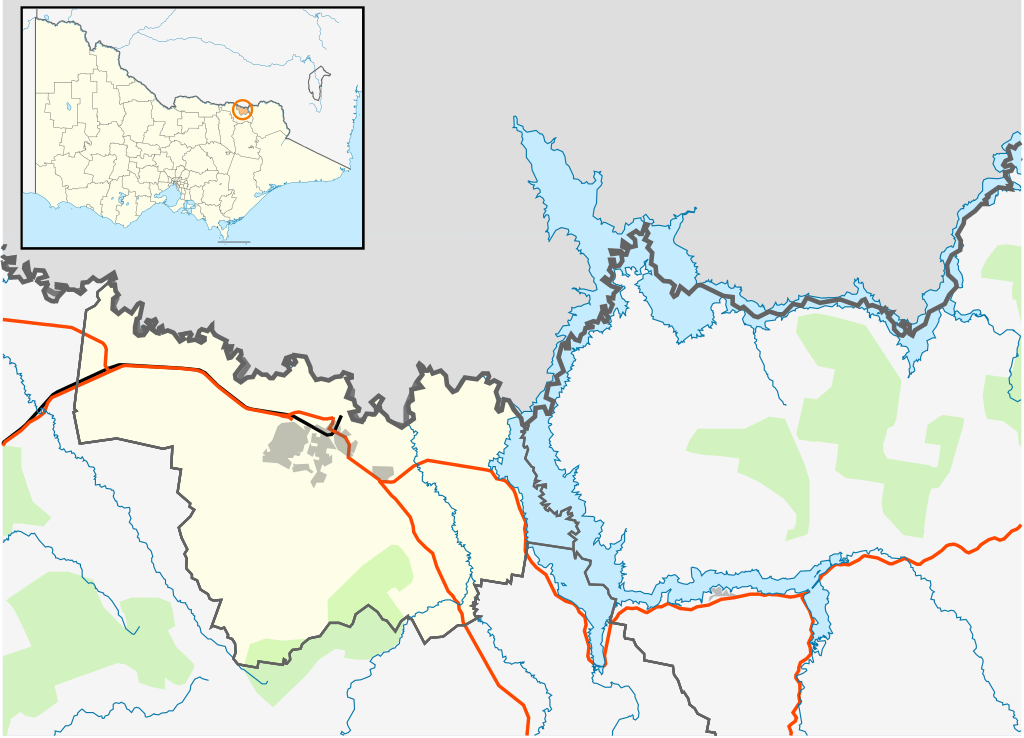
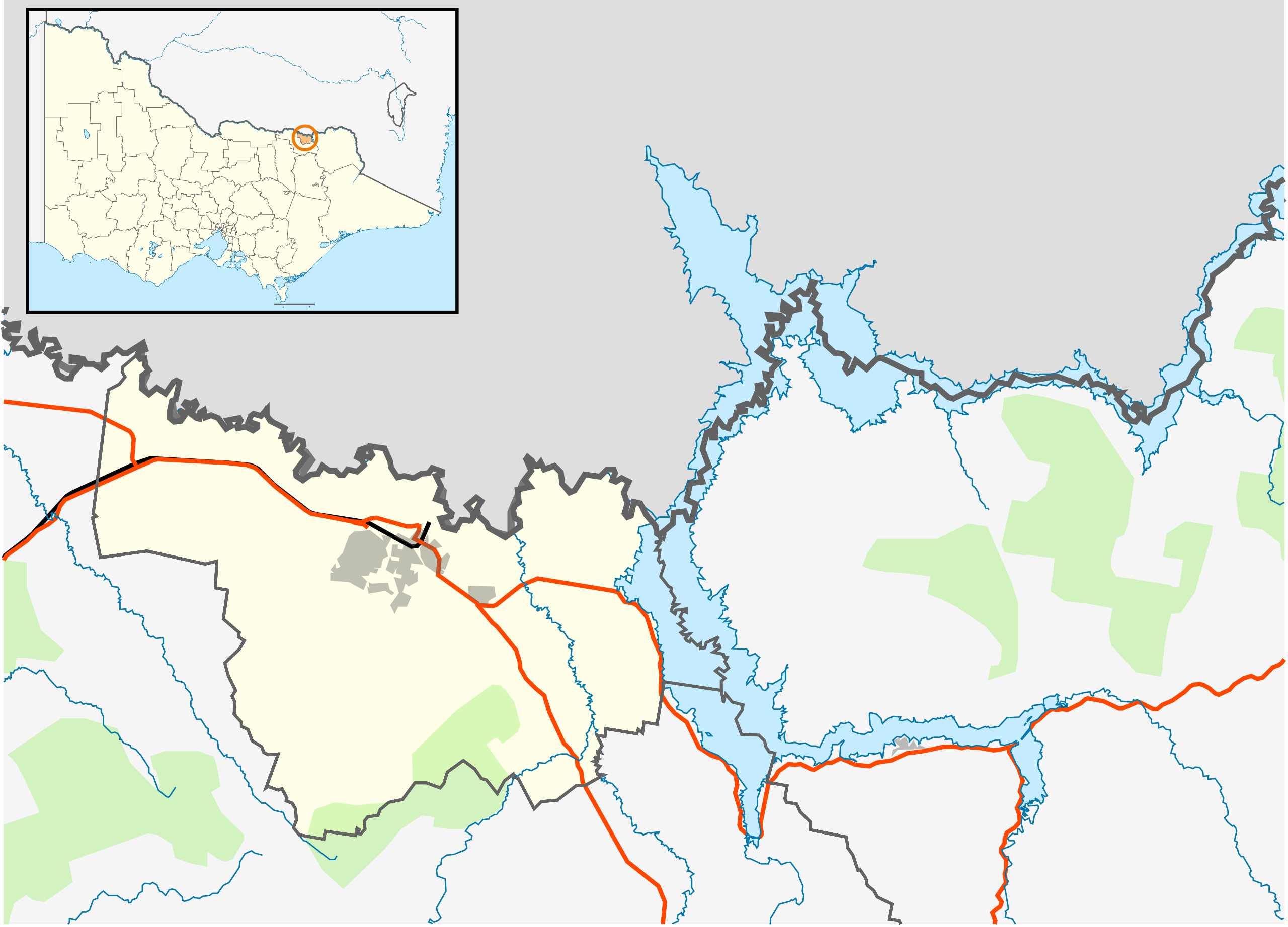
English: Blank map of the w:City of Wodonga, Victoria, Australia, with the following information shown:
Geographic limits:
|
||
| මූලාශ්රය | ස්වයං නිර්මාණයකි | ||
| කර්තෘ | Cassowary |

ගොනු ඉතිහාසය
එම අවස්ථාවෙහිදී ගොනුව පැවැති ආකාරය නැරඹීමට දිනය/වේලාව මත ක්ලික් කරන්න.
| දිනය/වේලාව | කුඩා-රූපය | මාන | පරිශීලක | පරිකථනය | |
|---|---|---|---|---|---|
| වත්මන් | 16:16, 17 පෙබරවාරි 2011 | | 535 × 385 (505 කි.බ.) | Cassowary | {{Information |Description ={{en|1=Blank map of the w:City of Wodonga, Victoria, Australia, with the following information shown: * LGA boundaries * Coastline, lakes and rivers * Roads and railways * Urban areas * Parks Geographic limits: * North: |
ගොනු භාවිතය
පහත දැක්වෙන පිටු 2 ක් විසින් මෙම ගොනුව භාවිතා කෙරෙයි:
ගෝලීය ගොනු භාවිතය
පහත දැක්වෙන අනෙකුත් විකියන් මගින් මෙම ගොනුව භාවිතා කරයි:
- ar.wikipedia.org හි භාවිතය
- ceb.wikipedia.org හි භාවිතය
- en.wikipedia.org හි භාවිතය
- Wodonga
- City of Wodonga
- Template:Towns in the City of Wodonga
- Bandiana
- Bonegilla
- Gateway Island, Victoria
- Module:Location map/data/Australia Victoria City of Wodonga/doc
- Staghorn Flat
- Ebden, Victoria
- Module:Location map/data/Australia Victoria City of Wodonga
- User:Viatori/sandbox
- User:ThylacineHunter/LGA
- fa.wikipedia.org හි භාවිතය
- id.wikipedia.org හි භාවිතය
- kn.wikipedia.org හි භාවිතය
- tr.wikipedia.org හි භාවිතය
- uz.wikipedia.org හි භාවිතය
- war.wikipedia.org හි භාවිතය